Atlantic Disturbance Poised to Develop Later this Week
Verdict still out on how organized it becomes, but South Floridians should monitor its progress
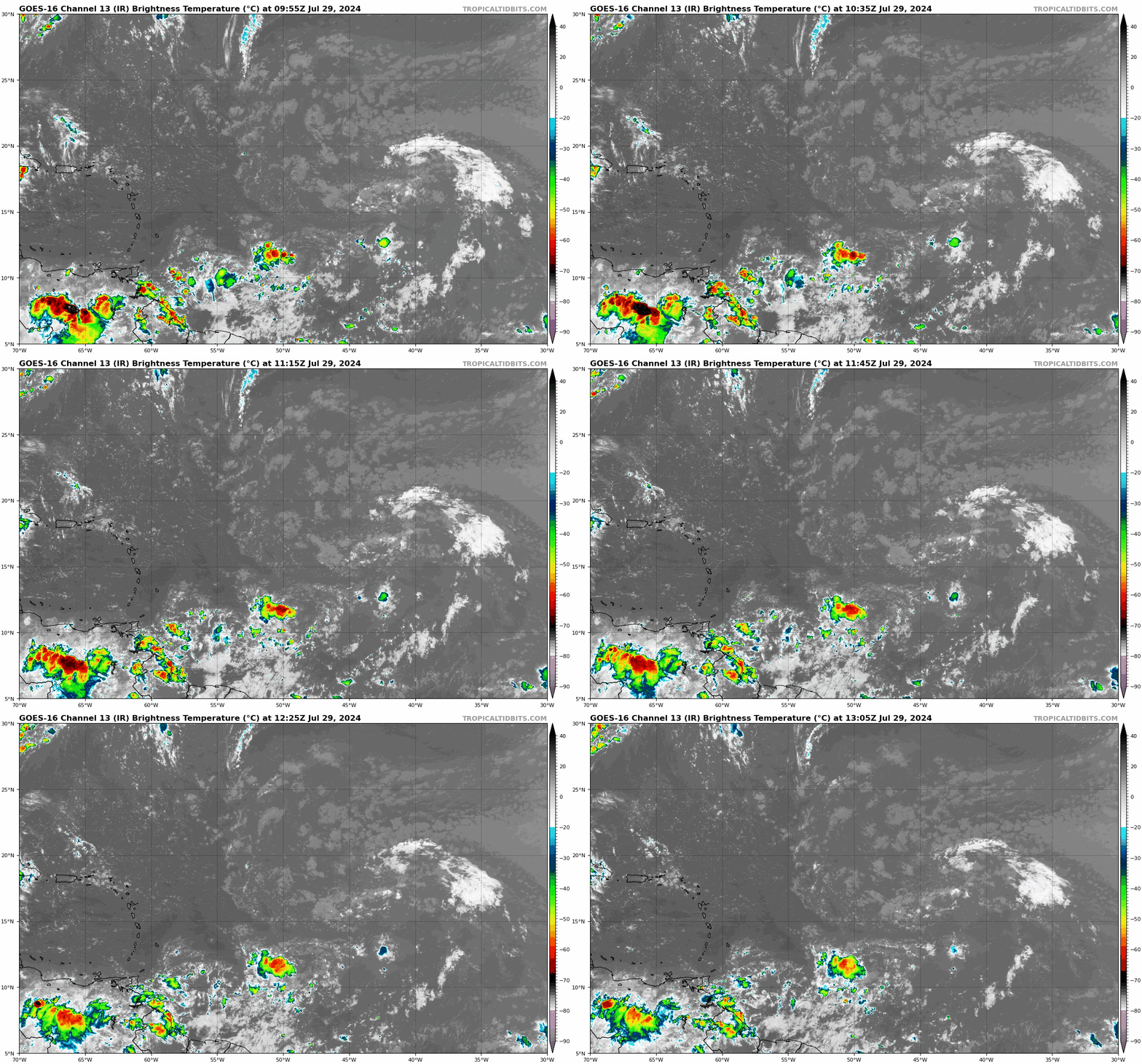
Beginning last Wednesday we began previewing the possibility of development of a tropical disturbance nearing the Caribbean islands for this week and in Friday morning’s newsletter we discussed a more conducive configuration for development once the disturbance moves into the western Atlantic later this week.
By Friday afternoon, NHC added this area to its tropical weather outlook and now indicates a tropical depression could form by middle to late week as the disturbance approaches the northern Leeward Islands, Puerto Rico, Hispaniola, or the southeastern Bahamas.
The good news for our Caribbean friends is we’re not expecting quick development and none of our forecast models suggests a significant threat, even if the system develops before reaching the islands. In general, we can expect squally weather to blow through the northeastern Caribbean islands from early Wednesday into Friday.
It’s not until the system nears the Bahamas late Friday into Saturday that conditions could become a little more ripe for development. Models suggest the potential for further development, but it’s by no means a slam dunk.
Factors working against development
For regular readers of the newsletter, it’s no secret the Atlantic has been blanketed by dry and dusty conditions in recent weeks. The Saharan dust is still hanging around, especially in the eastern Atlantic, where it’s limiting storminess.

The tropical wave that’ll be a key ingredient in the development recipe can be tracked on satellite, but swirls harmlessly through the eastern Atlantic for now with not so much as a pinch of rain.

Sinking air across this part of the basin should appreciably limit thunderstorm activity associated with the disturbance for at least the next day or two.
The system is also moving quickly for now – at speeds of 25 to 30 mph – which is generally a limiting factor for development. It’s expected to slow down once it reaches the islands later this week, however, which would give it a better chance at organizing.
Factors favoring development
The Atlantic will be at an inflection point by the weekend as the calendar turns to August. Rising air will begin to move in from the eastern Pacific, where it’s expected to spawn an outbreak of storms for the first time this season. As we discussed last Thursday, just how busy the Pacific side gets this week will affect the timing of the Atlantic’s reawakening.
While a busier eastern Pacific could limit the Atlantic’s potential over the next week or so, the rising air moving in will begin to promote storminess over the Gulf and western Atlantic that’s been shut off by sinking air in the wake of Beryl earlier this month. This should ignite more thunderstorm activity near the system by late week as it approaches the Bahamas.
So far this season, hostile wind shear across the deep tropics has been running well below average but over the past few weeks has ticked up noticeably.
As the system moves north of the islands by late week, upper-level winds may turn slightly more conducive to development, though modest wind shear may remain, limiting strengthening.
Waters remain at record or near record warmth throughout the potential development area outlined by NHC so that’s certainly not a limiting factor for the disturbance.
Is this a threat to Florida?
At this stage, our forecast models suggest only limited development odds with the Atlantic headed into its transition period. That said, odds favor an organized tropical system in the vicinity of Florida and the Bahamas come Saturday into Sunday, so we’ll want to monitor the forecast trends this week.
The various scenarios depicted by our more reliable global models show a weak tropical system largely turning near or east of Florida this weekend.

Until we have a defined low-pressure center, however, take the early model guidance with a grain of salt. Forecasts are notoriously uncertain without a defined circulation. We’ll need to wait to see how the pieces come together over the next few days before having more confidence in what effect, if any, this could have on Florida.
For now, check back periodically this week. I’ll have the latest updates on TV and in our daily newsletter discussions each morning. It’s almost August, so it’s a good habit to check in a little more frequently regardless.


I'm ALL for this thing staying disorganized.
It looks like the Bahamas may see a lot of activity this year.