Hints the Atlantic is in for a Reawakening to Start August
Several factors suggest tropical activity will pick up in another week or two
It’s only been 17 days since Hurricane Beryl struck Texas, but ever since silence has filled the Atlantic. The big question right now is when will the din of what’s forecast to be a hyperactive hurricane season make its unwelcome return. We’re beginning to get a clearer picture of the Atlantic’s grand reopening, which could throw open its doors for development again to start August.
Rising air returns
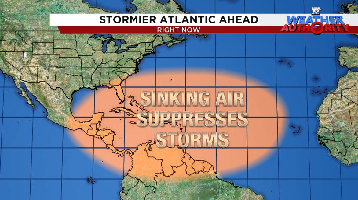
The sinking air that’s persisted for most of the month and held down organized storminess is expected to move out and be replaced by a large region of rising air.
The transition of this stormy pulse back into the Atlantic will not only promote more unsettled weather – especially in the western part of the Atlantic – but will help to shut down the big dust outbreaks that have been plaguing the eastern Atlantic. Computer models forecast this scenario of dust mixing out across the Atlantic by the first week of August.

Hostile wind shear relaxes
The other important factor is hostile wind shear which has been a deterrent to development in recent weeks. Most of our global forecast models show the pattern of wind shear relaxing around the week after next (the week of August 5th), which will allow storms to build and organize once again in the deep tropics.

The eastern Pacific wildcard
As we detailed in Tuesday’s newsletter, the eastern Pacific is off to its slowest start to a hurricane season on record. Tropical Storm Bud formed yesterday and has overachieved so far, but is expected to be short-lived.
Forecast models disagree on what happens behind Bud in the eastern Pacific. The American GFS shows an active period shaping up for early August while the European model shows a basin continuing to struggle with muted activity.
If the eastern Pacific manages to perk up as the GFS is advertising, that would delay the Atlantic uptick, but if the basin continues to struggle as it has so far this year, the Atlantic may crank up sooner, as the European model indicates.
Watching the waves a little more closely
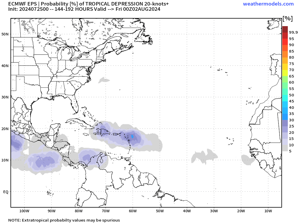
Although we don’t have anything to sink our teeth into quite yet, forecast models are beginning to show signs of life toward the end of next week.

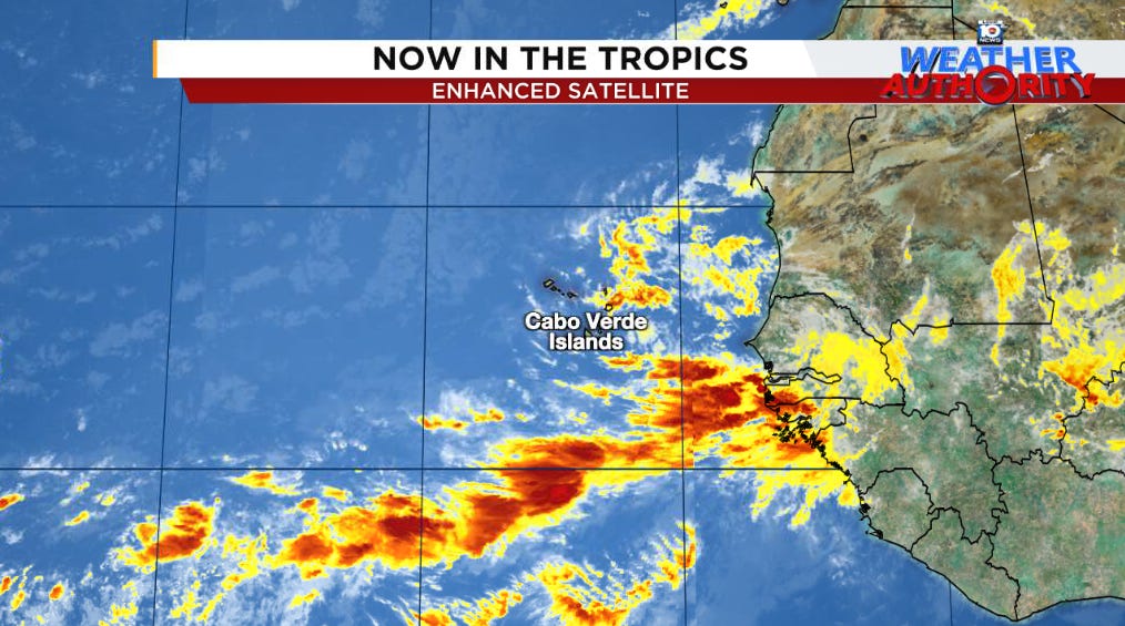
We’ll keep tabs on a tropical wave that recently came off Africa and is situated near the Cabo Verde Islands for development later next week as it moves near the islands of the Caribbean. For now, models are tepid into mid next week, but as the atmosphere becomes more conducive in the western Atlantic later in the week, we may need to follow its progress more closely.


