Threat of Tropical Formation Lingers in the Caribbean
Tropical system could develop later this week, but poses no threat to the mainland U.S. for now
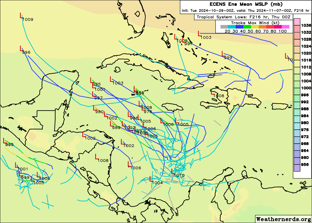
We continue to follow the progress of a broad area of low pressure over the southwestern Caribbean that could consolidate into a tropical depression or named storm later this week as it drifts northward toward the central Caribbean.
The next name on the list is Patty.
Slow to form and slow to move
Don’t expect fast formation in the coming days, however. As we discussed in yesterday’s newsletter, a quick-passing jet stream dip to its north on Thursday and Friday will be the catalyst for any development into the weekend ahead.
The system will meander initially across the southwestern and central Caribbean for most of the week, but longer-range models now indicate it will eventually track westward and in the direction of Central America and Mexico’s Yucatán Peninsula next week.
The good news for the mainland U.S. is that unusually high pressure anchored over the eastern U.S. through the early part of next week – producing seasonally warm and dry weather across Florida and the wider southeast – will block any of this late-season mischief from heading our way.

Since the system could still fester for the next 7 to 10 days, we’ll check back on the trends, but for now this isn’t a worry for us stateside. Even if the system outlasts the high pressure steering to its north, reinforcing wind shear along the shorelines of the continental U.S. will be a stiff impediment to overcome once November rolls in.
The upshot this week is a prolonged period of heavy rainfall and heightened risk of flooding across the central and eastern Caribbean – from Jamaica and eastern Cuba to Haiti, the Dominican Republic, and Puerto Rico and the U.S. Virgin Islands.


That is a real relief for the Gulf coast, particularly us on the west side of Florida but I feel sorry for the Islanders that are going to get all that mess.