Most Active Hurricane Season Start Since 2012. Will It Continue?
Early season activity typically doesn’t mean much for the hurricane season ahead, but recent storms could signal something different

The 2023 Atlantic hurricane season has gotten off to a surprisingly active start – the most active stretch to this point in over a decade.

At this juncture last season, we’d only observed one named storm – Alex, a short-lived system that formed over the Atlantic as it moved away from Florida, lasting for just over 24 hours. So far this year, we’re already through three named storms (four storms including the unnamed January subtropical cyclone), a pace that’s only happened in about 1 in every 15 hurricane seasons. The big question is does the active start mean we’re in for an active hurricane season peak? The answer is maybe.
In general, early season hurricane activity has little relationship to overall hurricane season activity. We’ve written about this extensively in previous newsletters. Until around mid-July (and even then the relationship is fairly weak), an active Atlantic needn’t necessarily cause worry for what lies ahead in August, September, and October, the three busiest months of the season during which historically about 95% of Category 3, 4, and 5 hurricanes form.

Early season storms tend to form outside of the deep tropics (the belt south of 20 degrees north latitude that stretches from Africa to the Caribbean) where our strongest hurricanes have their genesis. These early season systems often find support for development from non-tropical processes (like cold pockets aloft or jet stream dips), which don’t indicate how effective development may be later in the season for storms brewing in the deep tropical Atlantic.
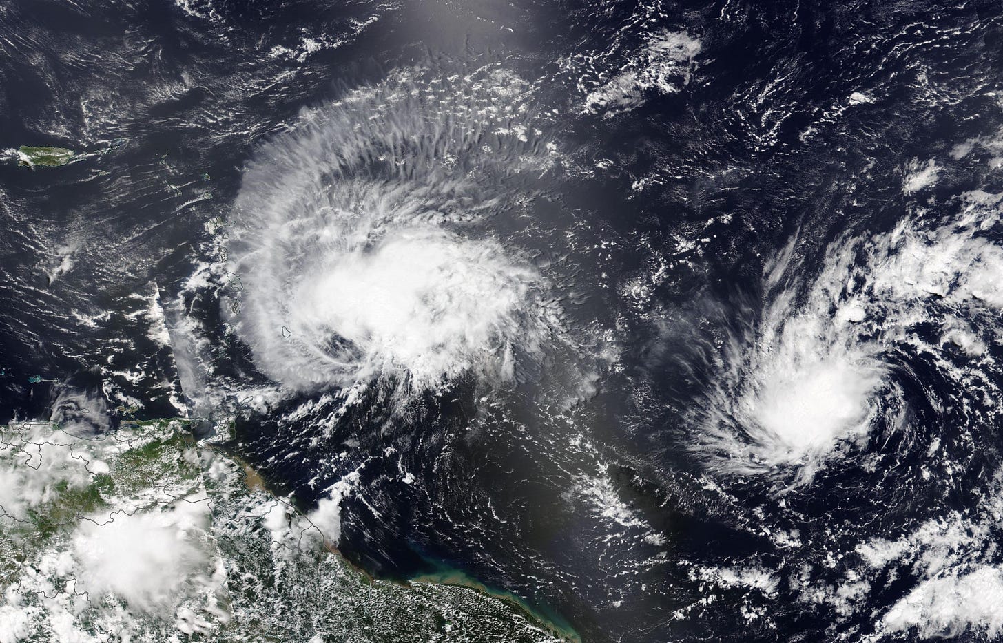
However, when the deep tropics see an active start as they have this June (Bret and Cindy were the first single-season pair of June named storms on record to occur in the Atlantic Main Development Region), the activity can portend a more meaningful relationship with future hurricane season activity, especially across the deep tropics.
Time will tell if that’s the case in 2023. The big factor we’ll be watching for in the weeks ahead is an increase in vertical wind shear across the Caribbean and western Atlantic, a hallmark of El Niño that typically reduces Atlantic hurricane activity but so far hasn’t manifested itself.
For now, mostly hostile conditions have fallen back over the Atlantic, including the first major Saharan dust outbreak of the hurricane season.
The only activity we’re monitoring this week are the remnants of Tropical Storm Cindy some 400 miles south of Bermuda over the open Atlantic.
Though the system has a low chance of regeneration later this week, it’ll be headed toward the far north Atlantic and Canadian Maritimes and is no threat to the U.S.


