Quiet Holiday Week in Store for the Tropical Atlantic
After a busy June, the Atlantic is out to an early July recess
After a very busy start to the hurricane season in the Atlantic – the most active through June since 2012 and third most active June this century – the tropics will be taking a summer vacation to start the month of July.
Hostile wind shear across the deep tropics that stayed uncharacteristically weak throughout June is forecast to ramp up in the coming weeks, with noticeably strong upper-level winds laying claim to the main development region of the Atlantic.


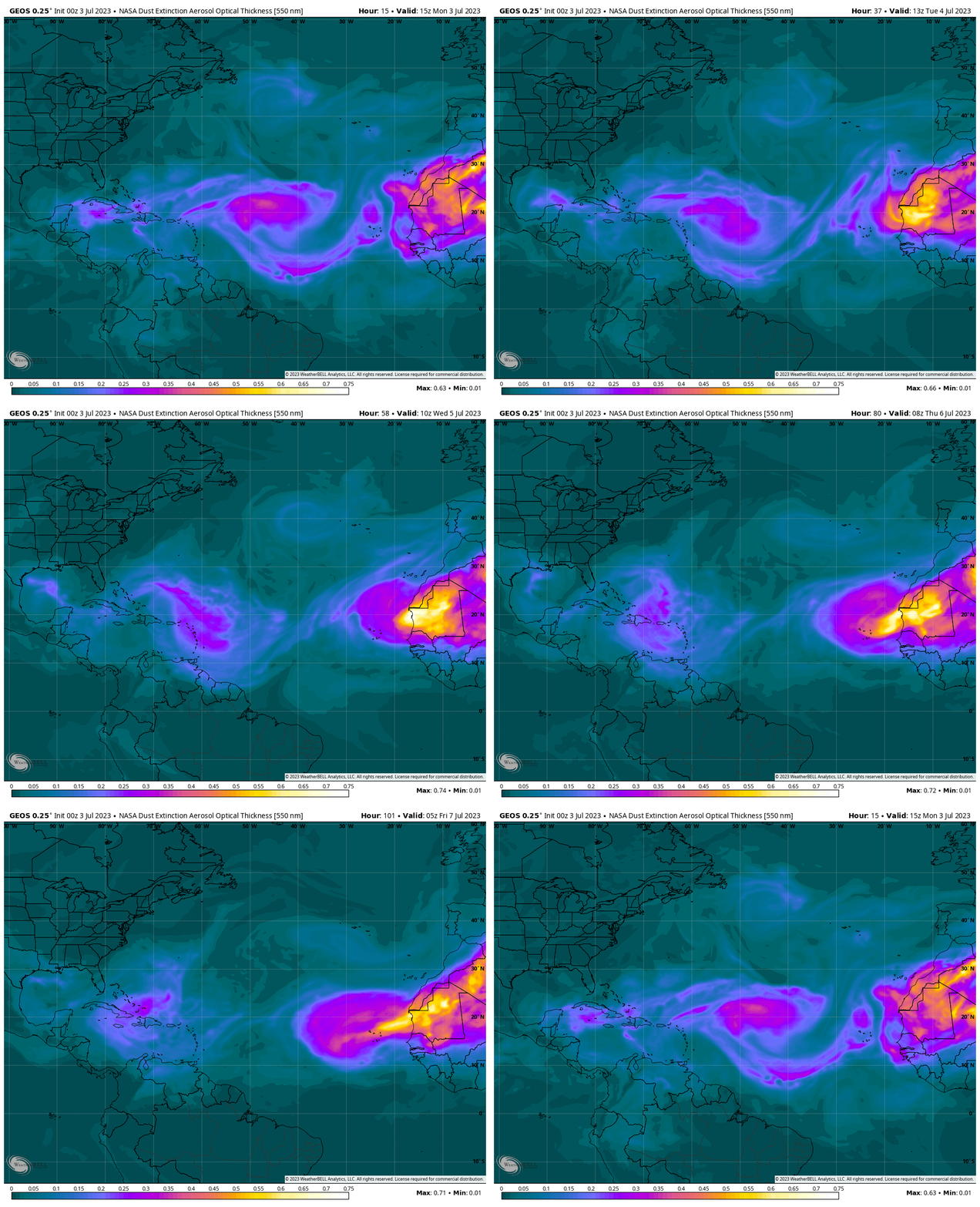
Though still somewhat paltry for late June and early July, we’re finally seeing some push of Saharan dust across the Atlantic. Another outbreak is anticipated by mid-to-late week and these dry air intrusions should reinforce the benign weather across the tropical Atlantic expected for the holiday week.

As we discussed in last Friday’s newsletter, the Atlantic looks to stay mostly sluggish until mid to late July when conditions may once again favor storm activity.
Until then, we’ll be following the evolution of upper-level winds and attendant wind shear over the Caribbean and over the waters east of the islands to see if a more typical El Niño pattern – a pattern that usually deters Atlantic storm activity – can take shape as we close in on August, the start of the primetime part of the hurricane season.


Are we out of the MJO phase? A lack of MJO could also contribute to any lack of storm activity.