


Increasing Odds for Next Atlantic Storm by Next Week
A record warm Atlantic and abnormally low wind shear may help an early season system overcome the historical odds


As we discussed in Thursday’s newsletter, we normally wouldn’t look to the Main Development Region or MDR of the Atlantic – the band of deep tropical waters between Africa and the Caribbean where most of our strongest hurricanes originate – until late July into August. Less than 1% of all tropical storms and hurricanes that have formed in the MDR since records began in 1851 have done so in June. By next week, however, odds favor a leap over this historical hurdle.
A vigorous disturbance that rolled off Africa yesterday and into the eastern Atlantic appears poised to develop by next week as it tracks westward through the deep tropics. On Friday morning, the National Hurricane Center raised its 7-day development potential to medium, placing even odds on what could be the next Atlantic named storm. If the system is named next week, it would be Bret, the second named storm and third storm to form in 2023 (an unnamed subtropical storm formed off the northeastern U.S. in January). The second and third named storms don’t typically occur until mid-late July and early August, respectively.
Several unseasonal factors are driving these unusually high June development odds. The first and most glaring factor is the ongoing Atlantic heat wave that has pushed water temperatures in June to where they’d normally be the first week of September. Weekly water temperatures across the MDR ending June 14th were averaging 81.5 degrees Fahrenheit, on par with the average temperature on September 1st and only about half a degree shy from where the Atlantic typically peaks in late September.

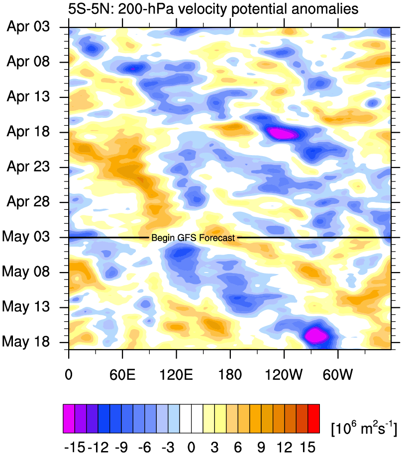
Perhaps most importantly, however, forecast models continue to show a significant drop in what is typically development-prohibitive wind shear across the Main Development Region. In part due to a reconfiguration of winds at upper-levels from a fast-moving equatorial disturbance known as a Convectively Coupled Kelvin Wave (CCKW), computer models have noticeably scaled back otherwise hostile, storm-busting wind shear from earlier forecasts.

This reduction in wind shear begins in earnest early to middle part of next week, when the development window opens for the disturbance.
Long-range models are beginning to indicate a possible break in the subtropical high-pressure steering guiding the system westward next week, which would allow for a bend northwestward into late next week. It’s too early to say what impact the system might have if any on the Lesser Antilles, but interests in the eastern Caribbean islands will want to monitor the changing forecasts next week.

For us in South Florida and on the U.S. mainland, the system has a long journey ahead and for now poses no threat.
As we head into July, we’ll want to keep an eye on wind shear trends across the Caribbean and MDR. Typically with a strengthening El Niño as we have this season, we’d expect to see abnormally strong wind shear take hold of these areas of the Atlantic. This is the main deterrent to Atlantic storm activity during El Niño years. If this doesn’t start happening by July, especially in the Caribbean, it may indicate a problem with the typical El Niño response that could favor a more active Atlantic hurricane season.
Models continue to show a weaker subtropical high pressure through the end of the month, which would reduce east-to-west moving trade winds, both reinforcing the Atlantic warmth and lessening the wind shear in the deep tropics. It’s still early, but we’ll be watching for pattern changes to suggest some relief from El Niño later this summer.
Relief from El Nino? Good luck with that. The way things are going, it could be a substantially strong El Nino come winter. Last year's La Nina acted like El Nino. Will we see the same thing with El Nino acting like La Nina? Given the sudden warmup in the Pacific and record warmth in the eastern Atlantic, I doubt that will happen.