Tropical Wave Train Picks Up Steam
A new Atlantic disturbance could pose a threat to the easternmost Caribbean islands by early next week
In Tuesday’s newsletter we previewed a tropical wave – a strong disturbance emerging off the coast of Africa – that could make a run at development as it heads toward the Caribbean for next week. By late yesterday, NHC added the area to its outlook indicating slow development in the days ahead.
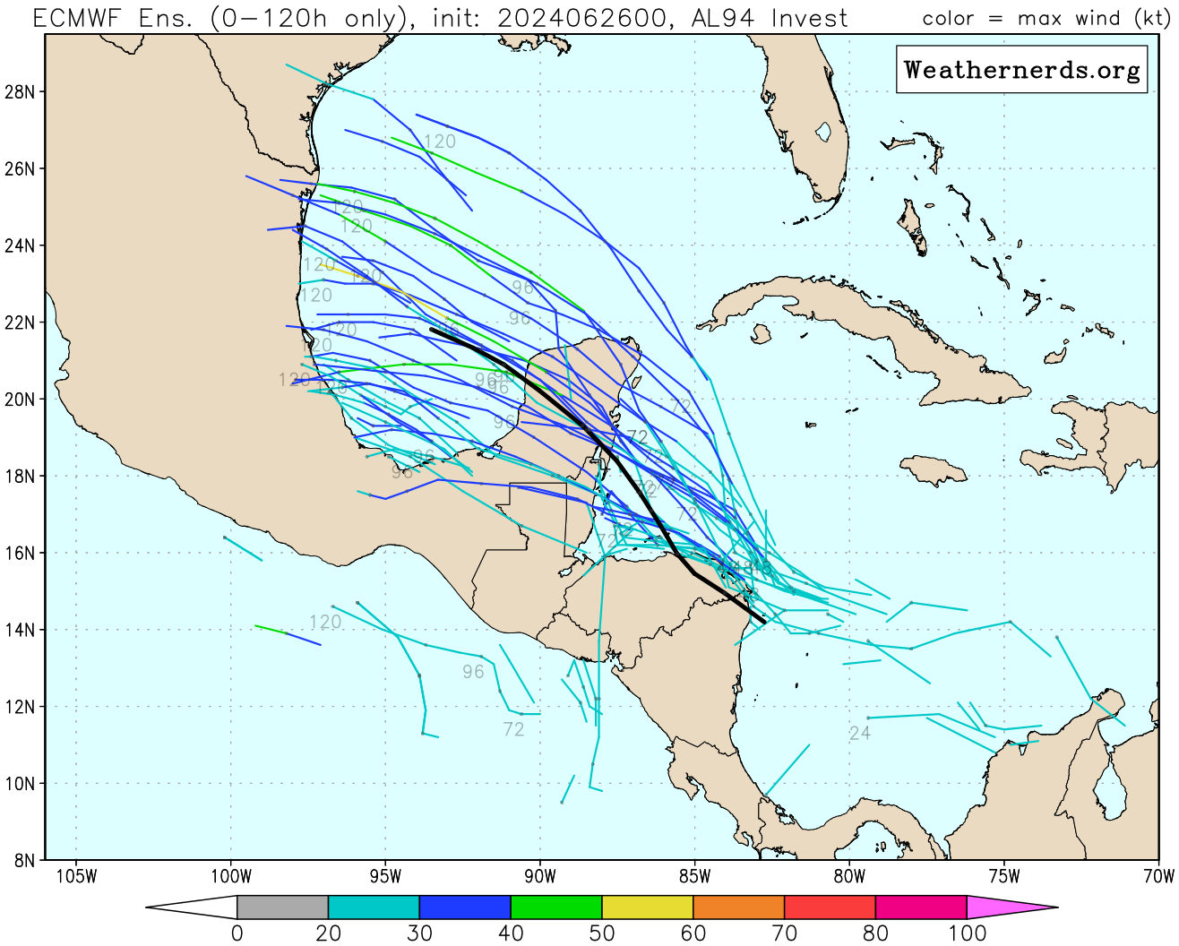
This new area to watch comes on the heels of another robust tropical wave – now designated Invest 94L – racing through the Caribbean. 94L remains disorganized and models have stayed tepid on development odds as it heads westward toward Central America for tomorrow into Friday. It may have a brief opportunity for development as it slows down near the Yucatán Peninsula Friday into the weekend, but land entanglements and modest wind shear will likely stifle much organization. Regardless, it poses no threat to the U.S.

Growing threat to the islands for early next week
The new disturbance we’re following off Africa, on the other hand, is poised to make a run at becoming the first named storm in the deep Atlantic this season. While models have waffled some on which feature may be the one to develop – with some runs indicating development of another wave rolling off Africa later in the week – they do agree that the environment east of the easternmost Caribbean islands will be ripe for formation this weekend into early next week.
For now, models are homing in on the wave currently situated southwest of the Cabo Verde islands in the eastern Atlantic. It’ll be embedded within the monsoon trough – a strip of enhanced storminess and background spin – for the next few days which will act as a kind of umbilical cord as it moves westward. It’ll need to detach itself from the broader monsoon trough to really get going, which models indicate could happen by the weekend.
The system will be riding far to the south where wind shear is running well below average and underneath dry, dusty air pushing through the North Atlantic from the Sahara. Forecast models are in good agreement with taking it quickly west and toward the easternmost islands of the Caribbean by next Monday. Interests in the Lesser Antilles and eastern Caribbean will want to monitor the progress of this system closely over the coming days.

It's obviously too soon to speculate on what the system might do or where it could head beyond early next week, but we’ll keep an eye on it.
We’re nearing the time of the season we begin to see development farther out in the Atlantic. Overall in June, only about 1 in 15 tropical systems that develop do so in the Main Development Region or MDR east of the islands. By the first part of July, however, those odds grow to about 1 in 3 for storms that develop.
So while it may be a little early, it’s certainly not unheard of to see formation this far out in the Atlantic to start July, especially with waters continuing to run at record levels.


