Tropical Atlantic Springs to Life
Newly formed Tropical Depression Three may threaten the Lesser Antilles this week as a hurricane while another disturbance to its east could develop in the coming days
Typically the first tropical depression or named storm doesn’t form in the deep tropical Atlantic east of the Caribbean until the last week of July or first week of August. This morning Tropical Depression Three formed in the deep Atlantic and a trailing disturbance – dubbed Invest 93L – could become a tropical depression in the next few days. Neither poses a threat to South Florida or the U.S. mainland at this time.
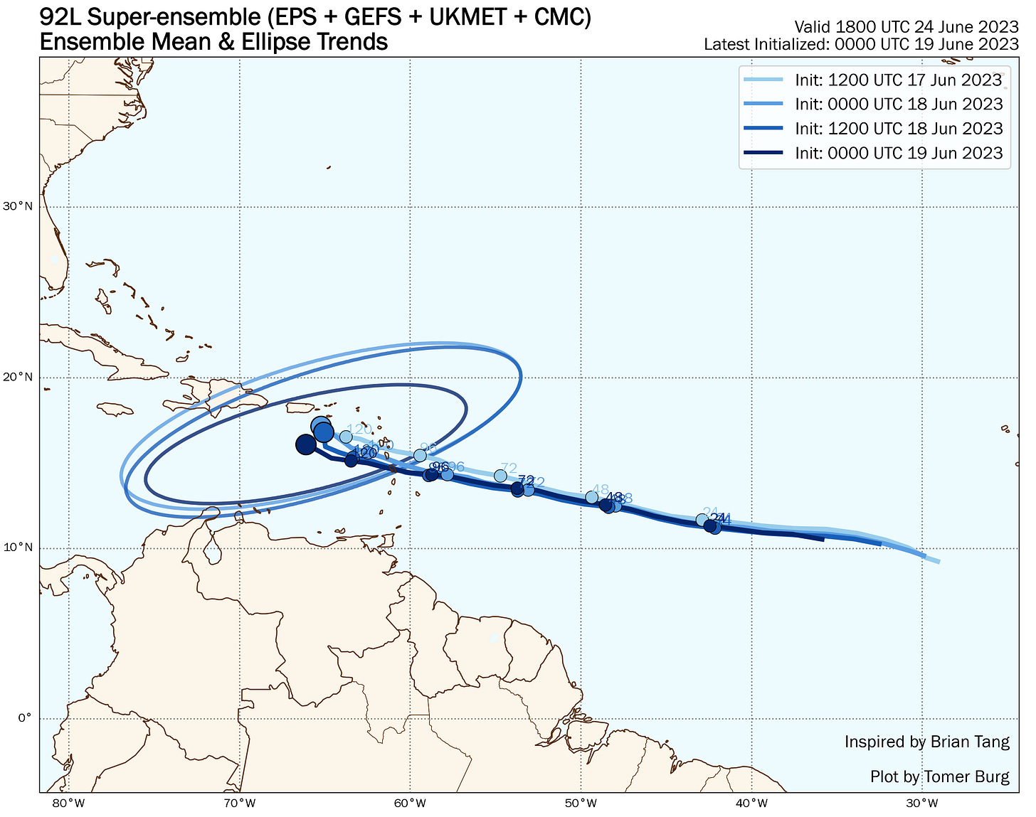
The most immediate impact may come later this week as Tropical Depression Three is forecast to strengthen to Hurricane Bret as it approaches the easternmost Caribbean islands. Although forecast models have come into better agreement with a more westward track toward the Lesser Antilles, as the NHC notes in their 11 AM ET Monday advisory, there remains a greater-than-usual degree of uncertainty with timing and future intensity.

In general, a stronger and slower system would feel the northward pull of a jet stream dip near the islands, which could bring the system near or north of the Leeward Islands, Puerto Rico, and the U.S. Virgin Islands beginning Thursday through the weekend. A weaker storm would tend to follow the east-to-west moving trade wind flow through the Leeward Islands and into the Caribbean, near or south of the U.S. Virgin Islands, Puerto Rico, and Haiti and the Dominican Republic by late week into the weekend.
The depression is large and larger systems usually take more time to cook. That said, once robust thunderstorms become focused and persistent over the center of circulation, the environment ahead generally favors strengthening this week. Beyond this week as it moves deeper into the western Atlantic or Caribbean, wind shear will become increasingly hostile and for now we don’t anticipate it would survive a trek through the curtain of wind shear east of the mainland U.S.
Meanwhile, the disturbance behind Tropical Depression Three – Invest 93L – will be in a modestly conducive area for development this week over the eastern and central Atlantic. The good news, however, is unlike TD3, 93L will likely turn northward into the open Atlantic before reaching the islands.

Despite the flurry of early season Atlantic activity, the tropics closer to home will remain quiet through the week.


