La Niña Recharging After Brief Warmup
Quiet through the weekend, but watching the eastern Atlantic next week


Growing up as a hurricane in the Atlantic isn’t easy. Of all the world’s active tropical oceans, the Atlantic averages fewer hurricanes than any of its counterparts. The western North Pacific – the world’s most active tropical basin – averages about 17 hurricane-strength storms (called typhoons) a year, the eastern North Pacific averages about 8 hurricanes each year, and the Atlantic typically see about 7 hurricanes annually. Storms in the Pacific also grow to be stronger – nearly two-and-a-half times as much tropical energy is produced in the western North Pacific each year and about ten percent more annually in the eastern Pacific.
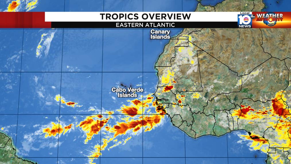
There are a variety of factors that make the Atlantic generally less friendly to would-be tropical systems. First, the Atlantic doesn’t have a natural breeding ground for tropical cyclones like areas of the northern Pacific. In the western North Pacific, a large area known as the monsoon trough – roughly the size of the deep tropical Atlantic from the Cabo Verde Islands off Africa to the Lesser Antilles of the Caribbean – serves as rich, fertile ground for fledgling tropical cyclones. It’s estimated that over 70 percent of the tropical systems that form in the western Pacific owe their existence in large part to the monsoon trough. Similarly, disturbances in the eastern Pacific benefit from an active monsoon trough that gives a boost to organizing low pressure systems. In the Atlantic, though, tropical seedlings – most of which originate from large thunderstorm clusters moving off Africa – are left to fight the abrasive atmosphere on their own, without the help of a permanent, hurricane-helping monsoon trough. This makes tropical activity in the Atlantic especially fickle to small changes in upper-level wind patterns.
The biggest change to global wind patterns on a year-to-year basis happens when the large reservoir of waters in the eastern Pacific warms or cools. When the expanse of waters in the eastern Pacific warms for an extended period – known as El Niño – or cools for an extended period – known as La Niña – the change in global wind patterns that results can do a number on Atlantic tropical activity.
The waters on either side of the equator in the eastern Pacific have been running cool since the spring of 2020. The ongoing La Niña episode has several implications during the Atlantic hurricane season, all of which benefit organizing storms.
First, during La Niña, the cooler waters promote higher pressures in the eastern Pacific.

As a result, the typical storminess in the eastern Pacific is reduced by sinking air, and the strong upper-level winds that normally blow off across Central America and into the Caribbean relax. This in turn lowers the hostile wind shear over parts of the western Atlantic that can work against developing tropical systems.

In addition, this changeover to sinking air in the eastern Pacific alters the global circulation pattern, encouraging rising air and storminess in the deep tropical Atlantic. The upshot is typically increased tropical activity in the Atlantic.

Since the start of the hurricane season, the eastern Pacific has been on a warming trend and by the start of July was at its warmest point since late last fall. Despite all the warming, the Pacific remains historically cool for the time of year. In recent weeks, we’ve seen waters cooling yet again, and there are signs the cooling – and reinforcement of La Niña – will continue into the coming months as we ramp up to the peak of the hurricane season. The government’s own Climate Prediction Center continues to forecast a high chance that La Niña recharges into the fall.

Despite the quiet July so far, the latest seasonal hurricane forecasts expect an active few months ahead in large part because of the evolving La Niña. Both the National Oceanic and Atmospheric Administration – the parent agency of the National Weather Service – and the long-time forecast group at Colorado State University will update their hurricane season forecast numbers again in early August.
For now, we expect no organized tropical activity, not only in the Atlantic, but also across the more recently active eastern Pacific, through the weekend. Next week we’ll be watching the eastern Atlantic, as forecast models begin to pick up on more robust disturbances moving westward from the coast of Africa. Any prospective disturbance that does try to organize will take time to cook, however, so regardless we can rest easy in the week ahead.