Coastal Storm to Bring Rough Seas, Coastal Flooding, and Rain Squalls Next Week
NHC forecasting possible subtropical or tropical development as the developing surface low drifts westward
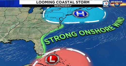
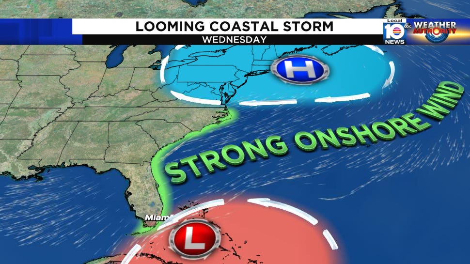
A sprawling storm system taking shape over the western Atlantic is expected to drift westward toward Florida early next week, bringing gusty winds, rough seas, widespread coastal flooding, and the potential for squally weather to the southeast U.S., including the entire Florida east coast, for much of the workweek.
It’s likely the large low pressure area takes on some tropical characteristics along the way, but just how much remains to be seen. Typically tropical systems form near the ocean surface from strengthening low pressure under high pressure aloft. In this instance, low pressure aloft is forecast to work down to the surface – a backward process that can slowly turn a wintertime low into a sort of hybrid low when it stagnates over still-warm tropical waters. That’s what’s expected to happen here, albeit gradually, in the coming days.
Regardless of the tropical technicalities, the system will have the characteristics of a large coastal storm rather than a tidy tropical storm as it slides slowly westward from the Bahamas to Florida next week. Winds and seas will pick up in earnest beginning Monday into Tuesday with the worst coastal conditions for southeast Florida likely on Wednesday. Offshore seas could top 20 feet, and rough seas and elevated water levels near the shore will lead to beach erosion and widespread coastal flooding, especially around the time of morning high tide on Tuesday and Wednesday. Tuesday brings a full moon and some of the highest tides of the year to South Florida.
Beyond the deteriorating coastal conditions, squally rainshowers will be possible inland into Thursday, though the amount of rain we see will be largely dependent on how organized the surface low pressure system gets. Stay tuned.
If the storm system organizes into a subtropical or tropical cyclone, its approach from the east would be an unusual event for November. Of the nine tropical or subtropical cyclones on record to strike the Florida peninsula in November, only two formed in the western Atlantic and struck from the east – an unnamed storm that hit Palm Beach on November 1, 1946, and the so-called Yankee Hurricane of 1935, the only November hurricane to hit the Florida peninsula, making landfall on November 4th on Miami Beach. Tropical Storm Keith in 1988 was the latest tropical system to hit the peninsula, striking near Sarasota on November 23rd.
Elsewhere in the Atlantic, Tropical Depression Lisa is taking its final bow in the southern Gulf of Mexico. Meanwhile, a non-tropical area of low pressure over open waters well east of Bermuda has a narrow window for development before strong jet stream winds whisk it out to sea next week.


Lisa is now dissipated.